The Greenland Crossing - EXPG64
A cross country ski expedition in a class of its own!
Tour type: Cross-Country skiing tour with pulka/sleds
Difficulty: Difficulty:
Price from: Price from:
Adult: 2671500
- JAN
- FEB
- MAR
- APR
- MAY
- JUN
- JUL
- AUG
- SEP
- OCT
- NOV
- DEC
What's included: Guide, necessary permits and insurance for the crossing, flights, transportation, all food, pulkas, tents and cooking equipment
Departures: 21. April 2021
Duration: 21-30 days
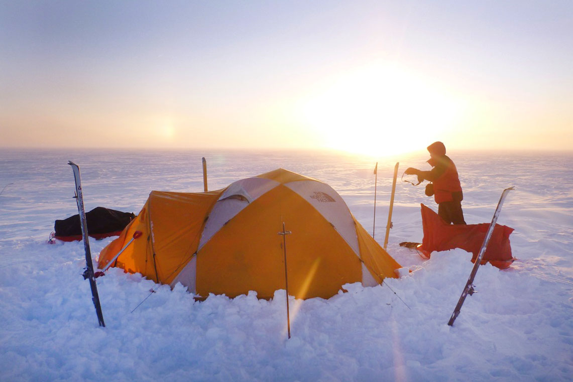
Accommodation: Tents
Meeting point: Starts and ends at the domestic airport in Reykjavik
Language: English
Skiing per day: 6 to 8 active hours
Note: Because of some irregularities in flight to and from Greenland an extra day or two might be needed
-
Tour Description
Highlights of the Tour
- The Ultimate Expedition
- The Second Largest Ice Sheet in the world
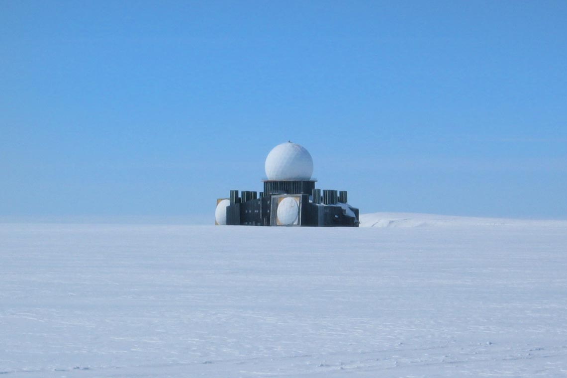
- DYE 2 - An abandonned Radar Station
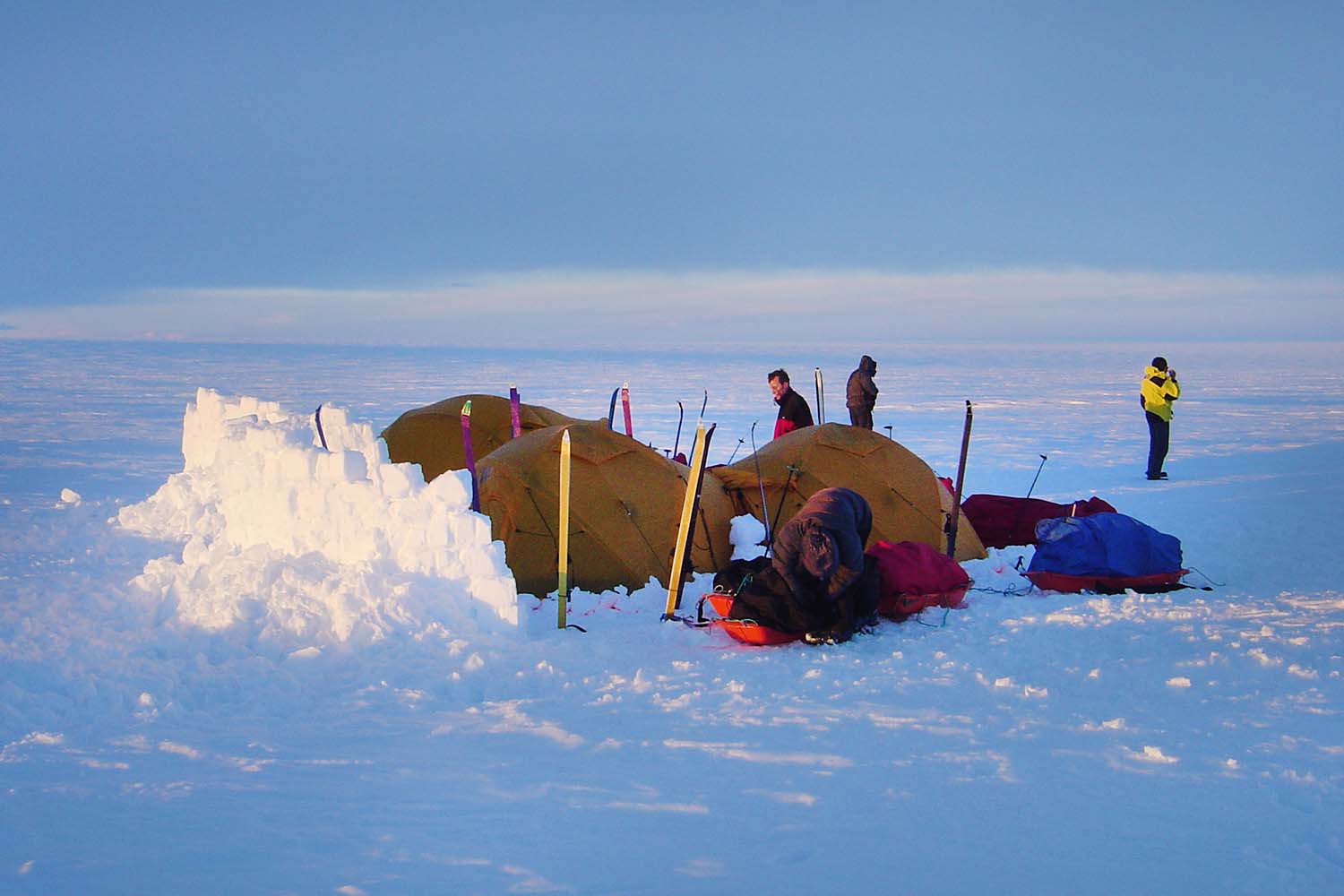
Greenland Crossing - A Cross Country Ski Expedition in a Class of its own
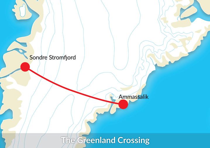
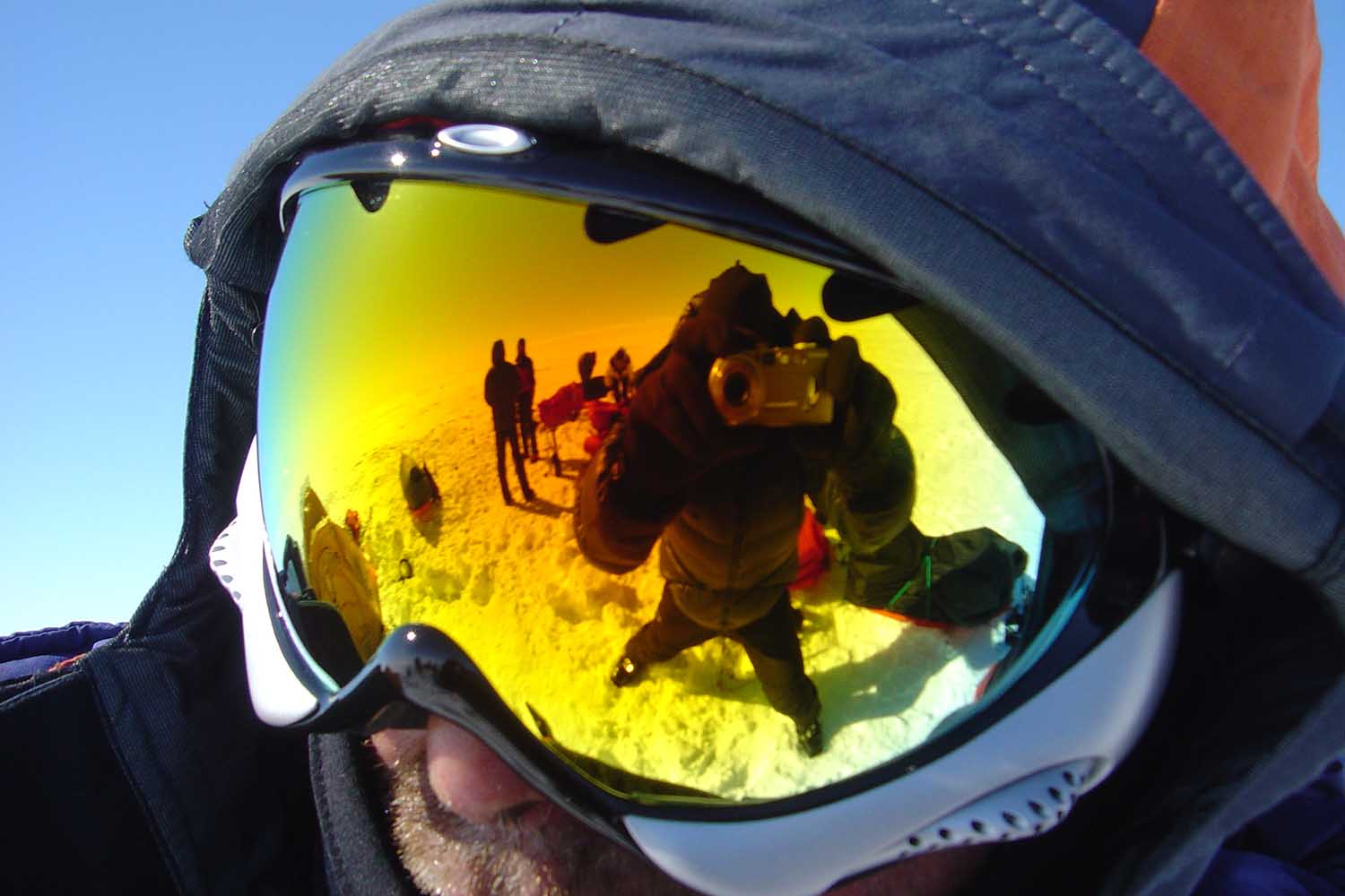
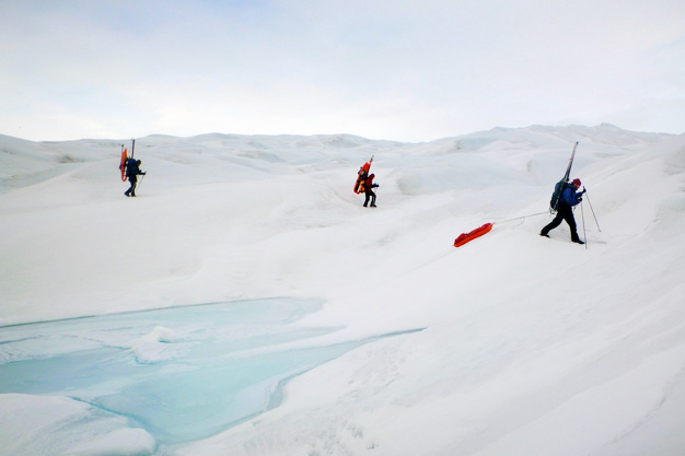
For April / May of 2017 Icelandic Mountain Guides (IMG) have organized their 11th expedition across the Greenland Glacier, the world’s second biggest sheet of ice. The aim is to cross the interior of Greenland from Ammassalik on the east coast to Kangerlussuaq (Sondre Stromfjord) on the west coast. The entire expedition will take up to 34 days in total. So far, IMG’s success rate is 100%.
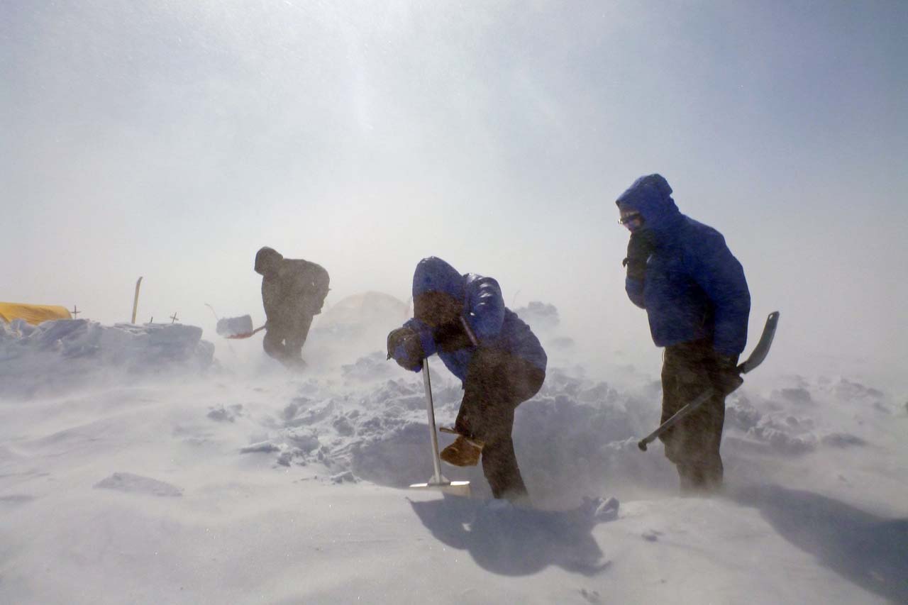
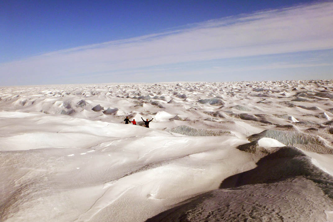
It takes about 10 days to climb up to the highest part of the Ice sheet on this route, topping off at 2500 m. The gradient is gradual and the use of skins makes sure that the skis move us forward. From the summit it takes about a week to get to the phantom radar station DYE 2, surely one of the most bizarre buildings on the planet that was used to monitor the Russians during the Cold War. From this strange place it takes from around 5 days to get to Terra firma - Hill 660, the landfall on the westerns side of the ice sheet.
Depending on the snow conditions and the weather we encounter the expedition can last from 21 - 30 days in total including transport at the beginning and the end For any back country enthusiast this is the ultimate expedition, where one needs to overcome several challenges, and not all of them physical!
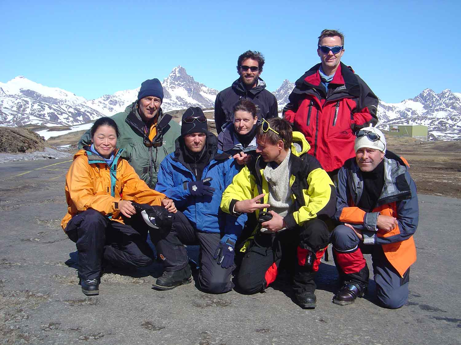
Four participants are needed to confirm the expedition (or there is a supplement for fewer participants).
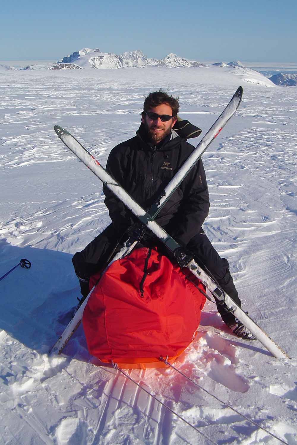
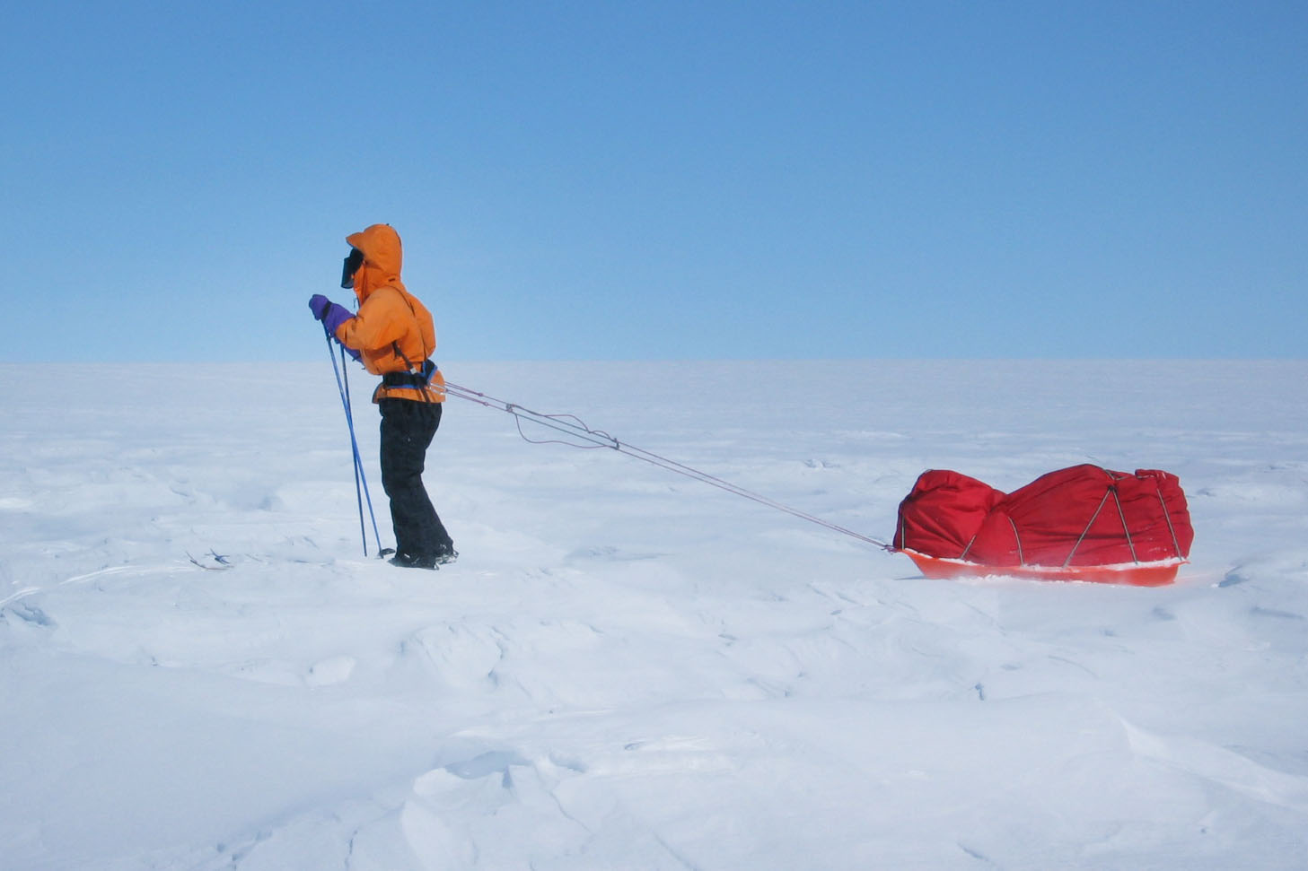
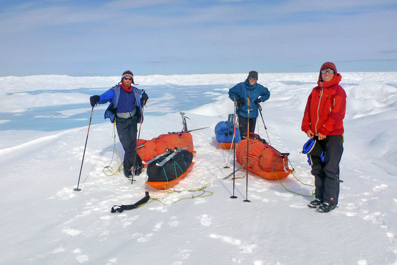
Cross country skiing: 4 to 5 weeks polar expedition.
Walking per day: 6 to 8 active hours.
Total distance: 540 kilometers (335 miles)
Altitude: 900 – 2.500 m (2.950 - 8.200 feet)
Max elevation one day: 250 m (820 feet)
Duration: 4 - 5 weeks
Expedition leader: TBA
Guide ratio : 1 guide per 5 participants
Included- Guidng services
- necessary permits and insurance for the crossing
- flight Reykjavík - Kulusuk
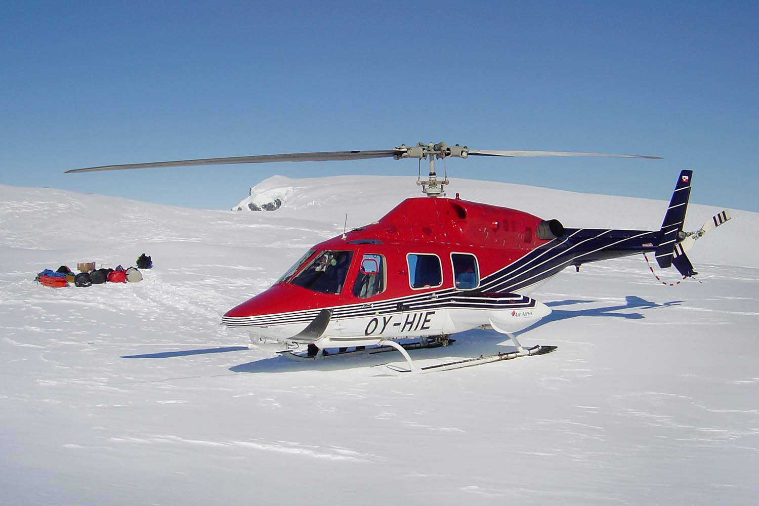
- boat or helicopter transport Kulusuk - Tasiilaq
- helicopter transport Tasiilaq - Hahn Glacier,
- all food
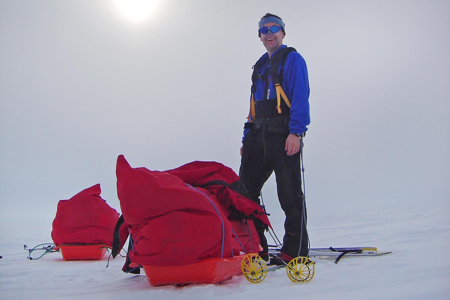
- pulkas
- tents
- cooking equipment
Note on the Price
The prices given above is the price when we reach the minimimum number of 3 participants.
If you prefer to have the trip private, or not depend on other bookings, the prices are as following2 people per departure : 3.548.300 ISK per person
Contact us for a private departureNote: Because of some irregularities in flight to and from Greenland an extra day or two might be needed. Icelandic Mountain Guides cannot be held responsible for extra cost regarding flight delays or other unseen/unexpected situations.
-
Tour Itinerary
Program estimation:
Day 0: Preparatory meeting in the morning with the expedition leader. Exact time and location to be announced
Day 1: Flight Reykjavík – Kulusuk – Tasiilaq
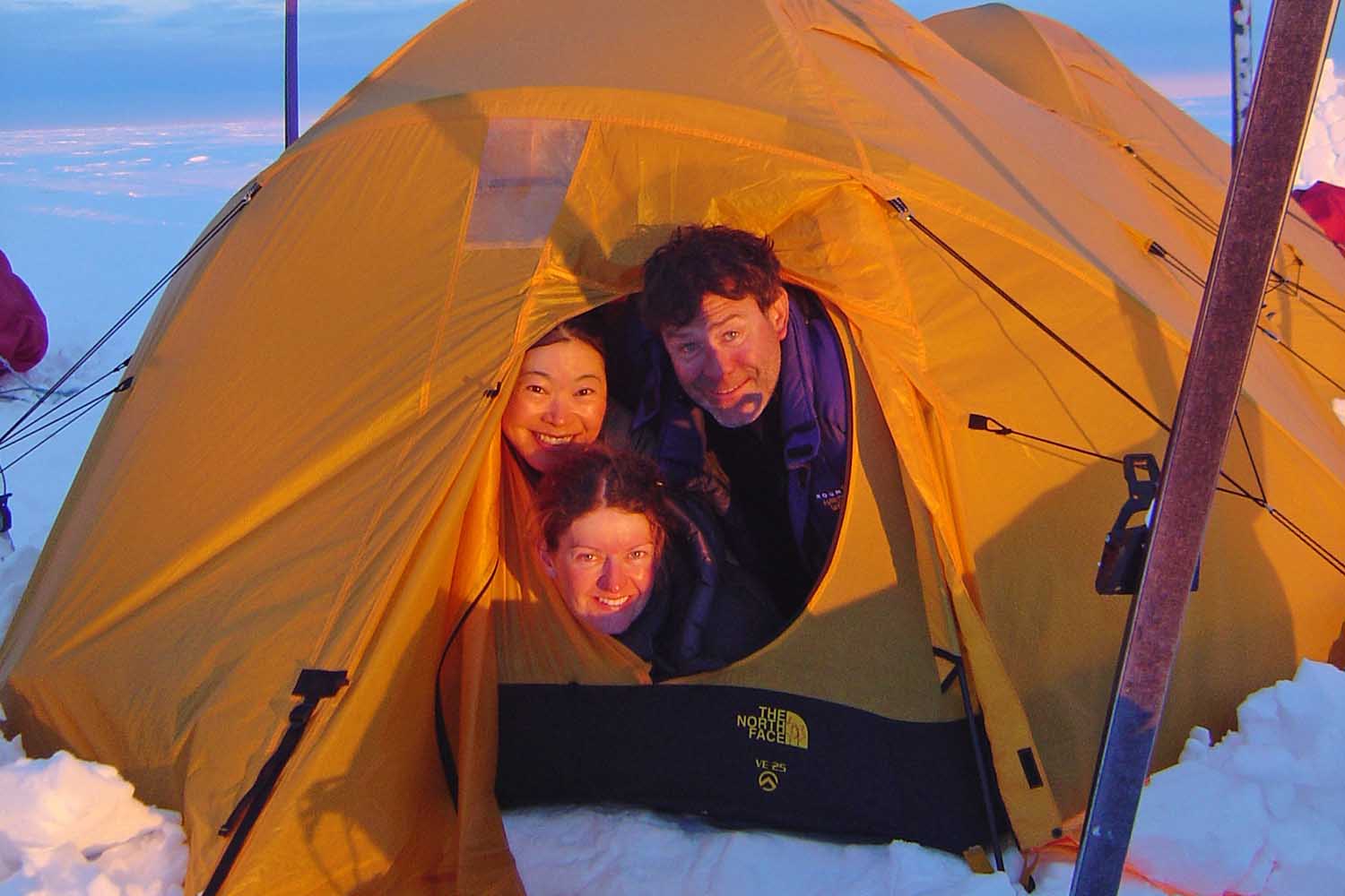
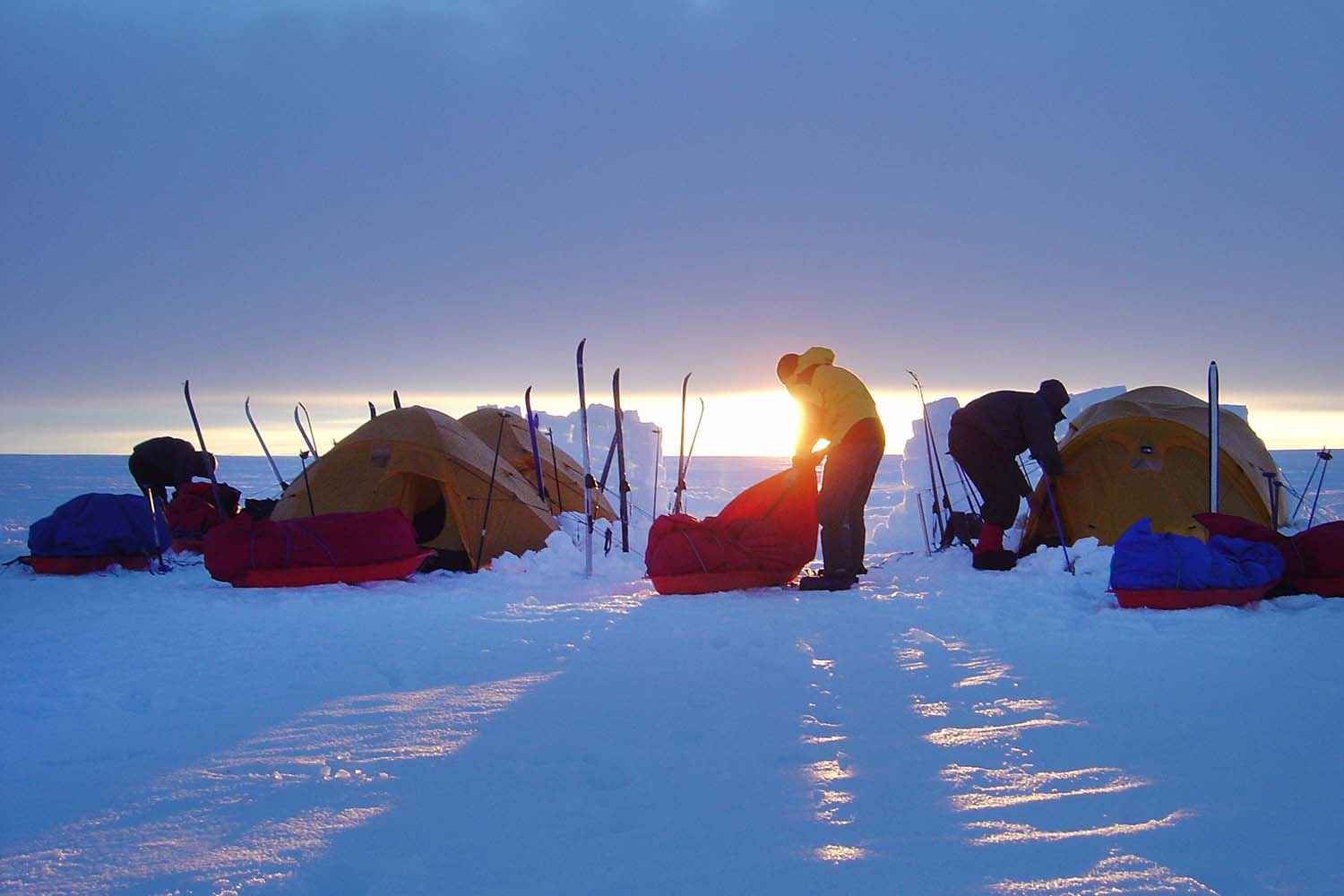
Day 2: Final preparation,the necessary inspection of gear etc - overnight in Tasiilaq guesthouse
Day 3: Transfer to Isortoq/Hahn glacier – start of the Crossing
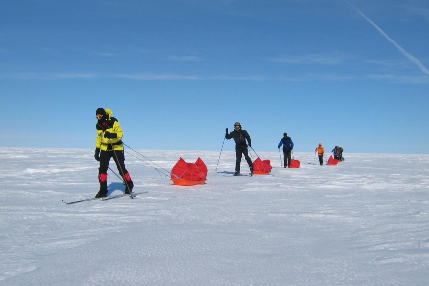
Day 3 – day 15/20: Skiing up to the summit. It takes about 10 - 15 days to climb up to the highest part of the Ice sheet on this route, topping off at 2500 m.s.l. The gradient is gradual and the use of skins make sure that the skis move us forward.
Day 15/20 – day 24/30 Skiing down on the west side of the Ice sheet, arriving at Hill 660
Day 24/30 – day 26/31 Hiking from Hill 660 to Kangerlussuaq (optional). Flight to Reykjavík. Expedition ends.
The Greenland Crossing – a Real Polar Expedition
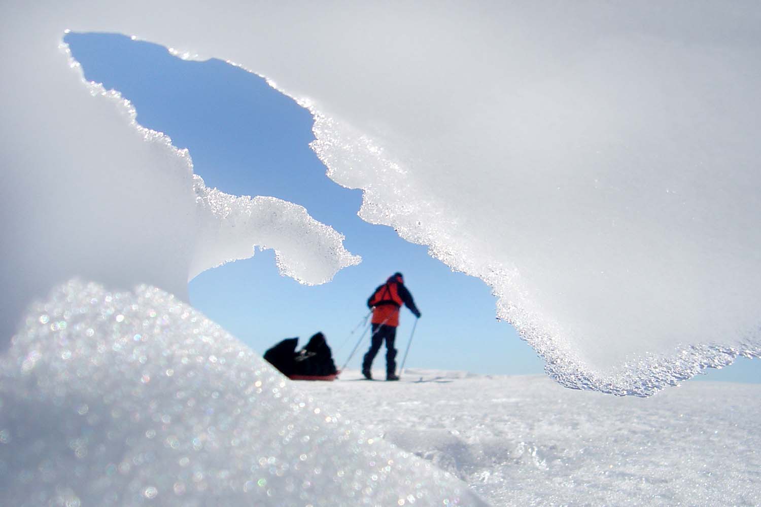
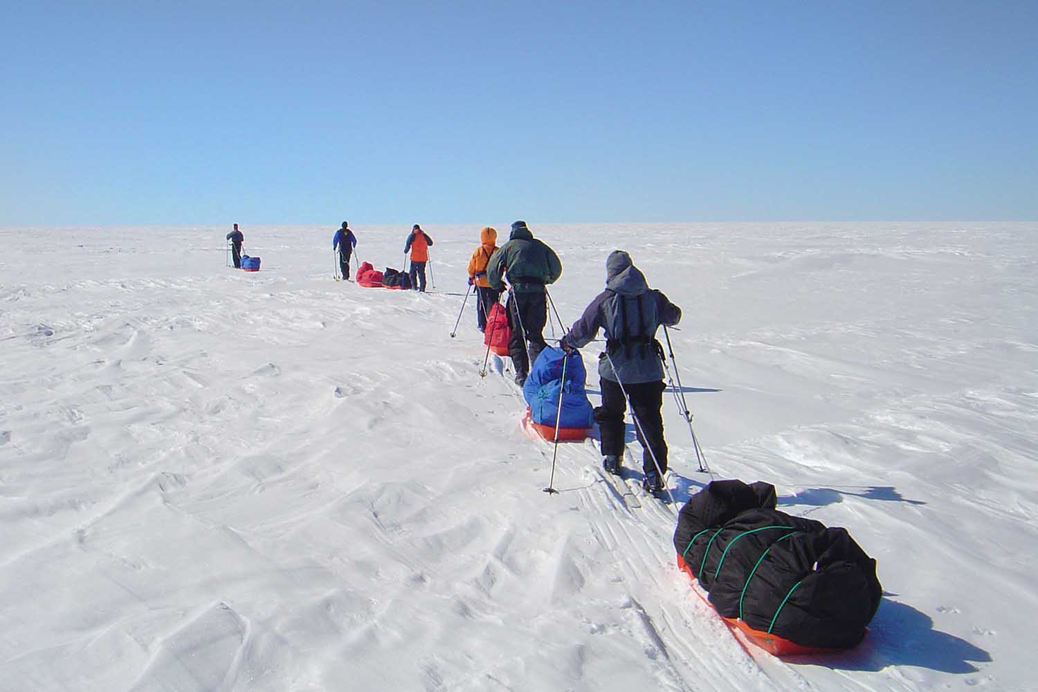
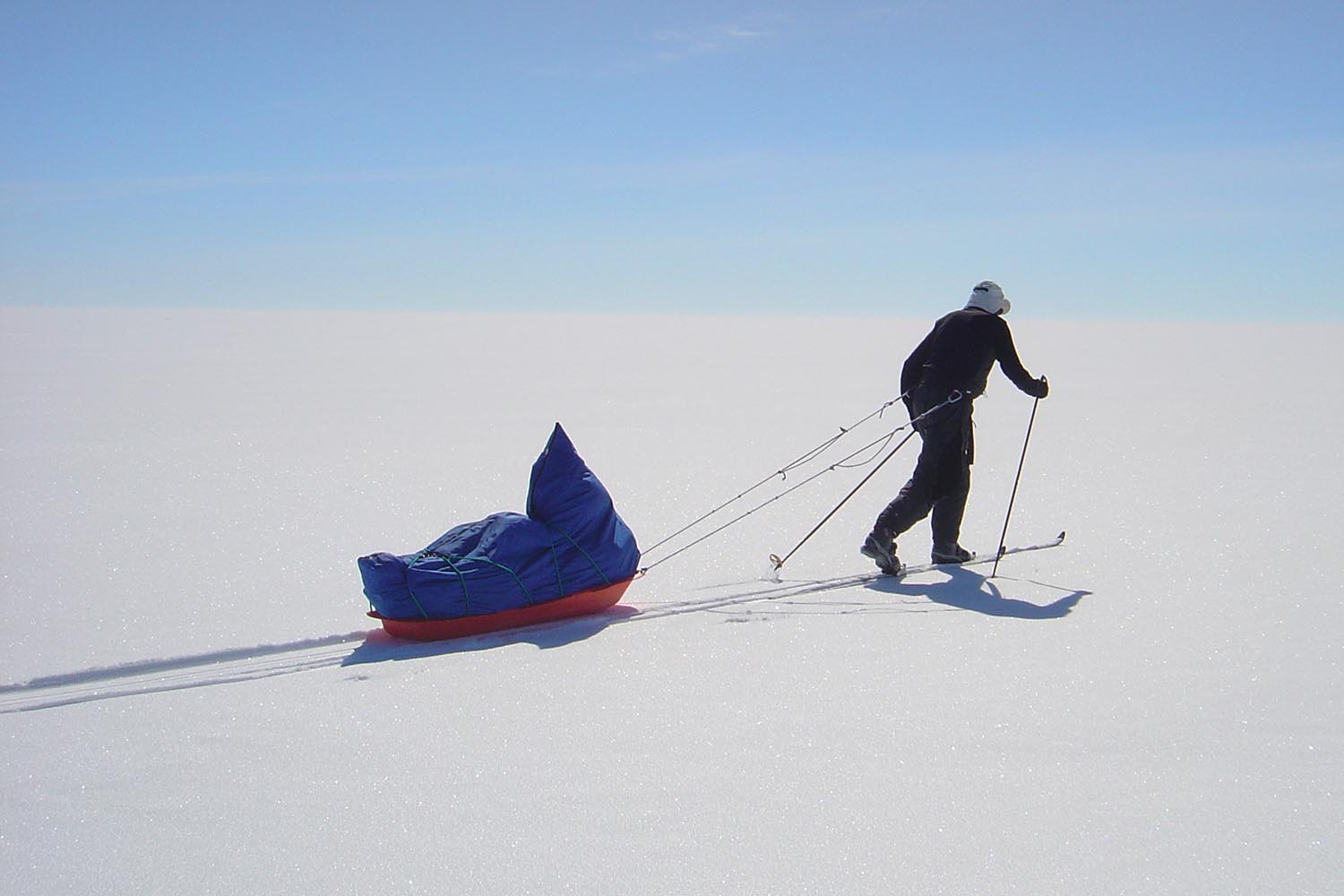
The expedition begins at Reykjavik city airport, with a flight to Kulusuk, Greenland and then a helicopter transfer to Tasiilaq, the capital of East Greenland. The group will stay in Tasiilaq for one or two nights, sorting out equipment and food and dealing with the final preparations before setting out. From Tasiilaq the group will be flown by helicopter up to Hahn-glacier at about 900 meters (2700 feet) altitude, where the skis will take over for the next 540 km (335 miles) or so.
It takes about 10 - 15 days to climb from the Hahn glacier up to the highest part of the Greenland ice sheet, at 2500m. From there it takes about a week to get to the phantom radar station DYE-2, one of the strangest buildings to be found on the planet, and then it takes approximately five days to reach land at Hill 660 at the western edge of the ice sheet. All in all we estimate spending from 22 to 27 days on the ice sheet.
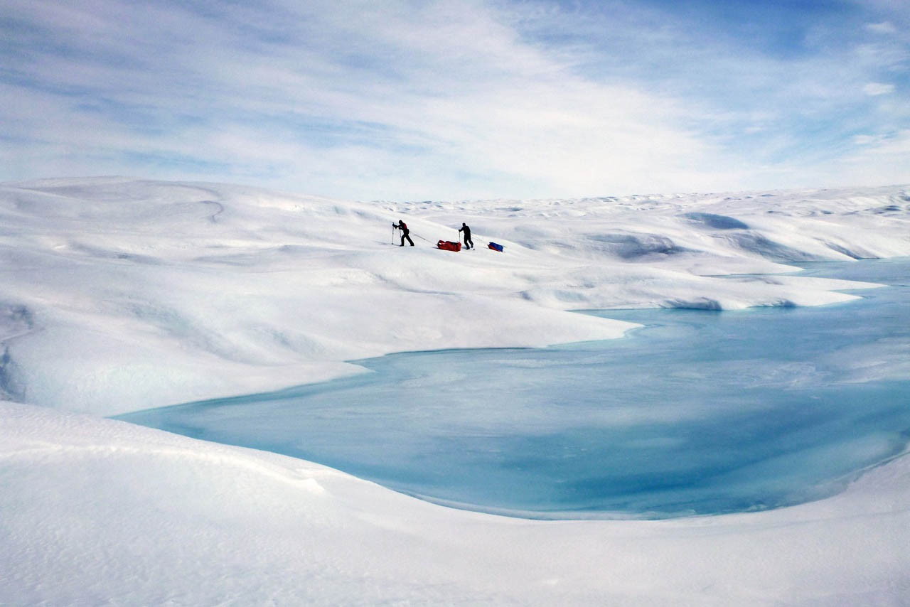
Hill 660 is in fact a nameless hill close to the glacier that measures 660 m above sea level in height. A jeep track lies from the hill which is beneficial for expeditions coming off of the ice sheet as both people and luggage can be taken by caer the last 35 kilometers to Kangerlussuaq. However, a hike back to civilization may be a welcoming thought for expedition members as the landscape is quite dramatic providing brilliant contrasts to the endless snows of the ice sheet. The fauna of the area is also truly remarkable. Reindeer, muskoxen, snow hares and arctic foxes can be seen in big numbers and during this period the lakes are still, mostly ice covered keeping the mosquitoes away.
If the expedition has made it in good time over the ice sheet, nobody is pressed for a return flight from Kangerlussuaq, and all expedition members are still in good health, without any blisters or foot aches, there is a possibility of doing the hike, either in part or as a whole, down to Kangerlussuaq carrying only a light pack. This will be decided by the guide and all expedition members once the expedition has reached Hill 660.
For further information, take a look at the Greenland Crossing Trip Manual or contact us via [email protected] -
Map